Collaborative map
Select map layers:
Notes
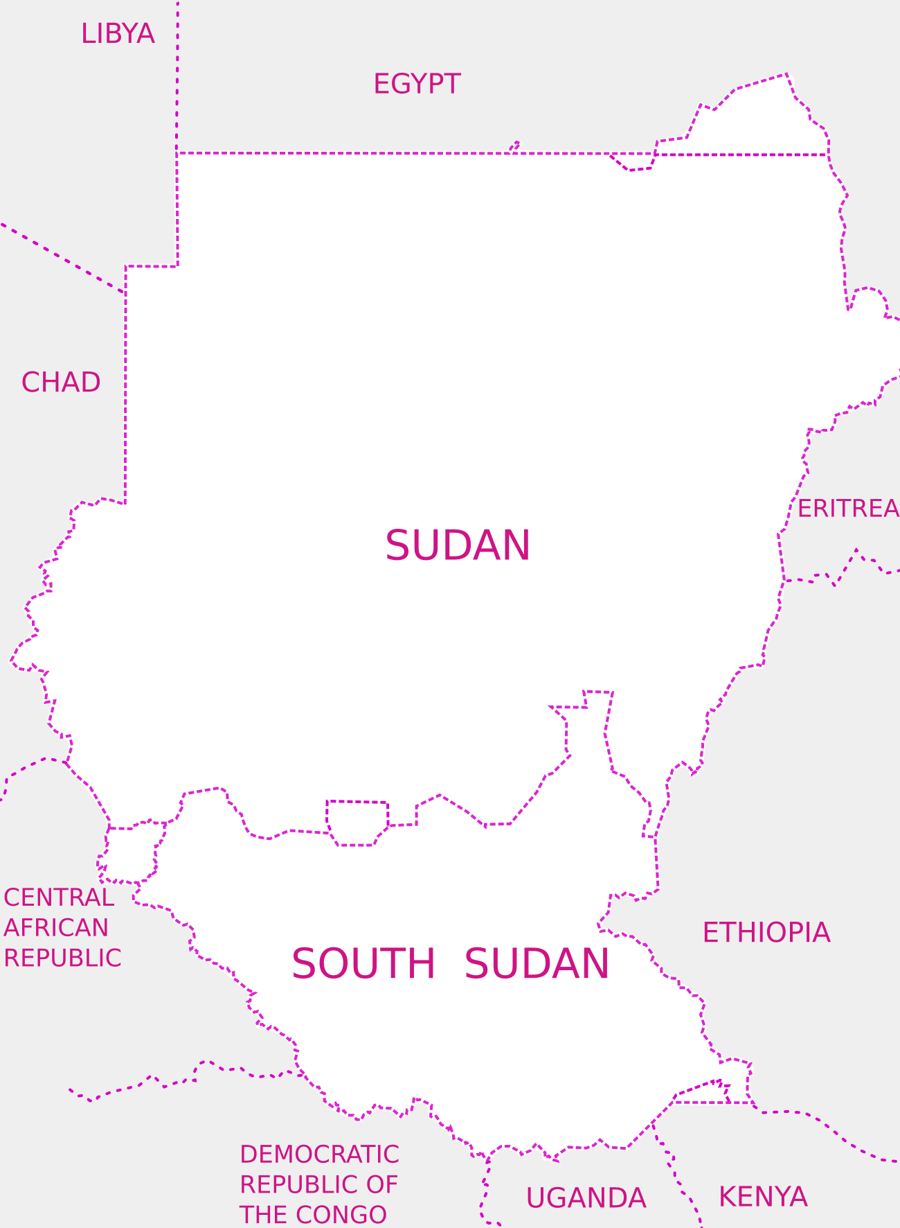
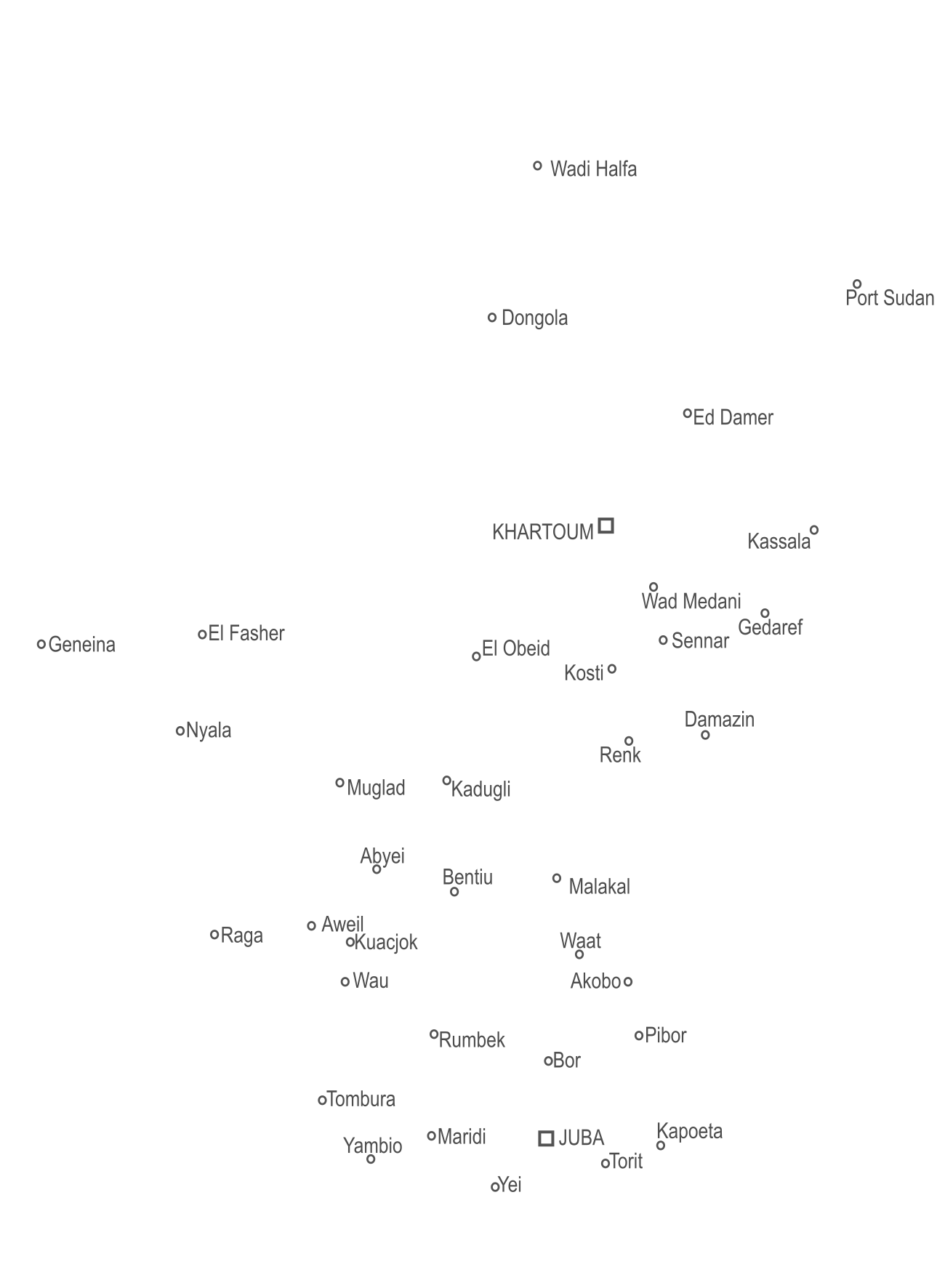
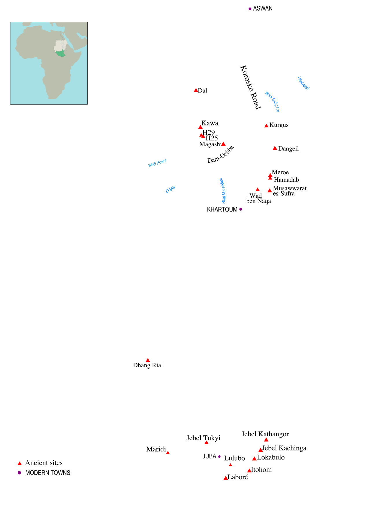
Warning! While SSSUK attempts to make this map accurate, its accuracy cannot be guaranteed. Features may be out of sync with each other by as much as 50km. The map reflects well-known alternative views about the international borders of Sudan or South Sudan, but SSSUK does not endorse any particular version of these borders.
Sources and copyright. Layers of this map are derived from various sources. Our policy is to take a main frame of reference from relevant data provided by OpenStreetMap. We trace many details from their mapping. Hence this map is credited to © OpenStreetMap contributors as well as to © SSSUK contributors. The present map and its layers are licensed under the Creative Commons Attribution-ShareAlike 4.0 International license.
Use and share! SSSUK members can download the full (.svg) version of this map by clicking here. The file is editable in Inkscape and some other graphics applications, from which versions of the map can be exported in other formats. Hence you can adapt and use this map in your own documents, subject to license. Members are encouraged to improve this map (.svg file) and contribute their improvements to the Society. If you are willing and able to submit an improvement, please contact the Website Manager (website@sssuk.org).


